

Drone Surveying
Experience. Innovation. Excellence. Technology.
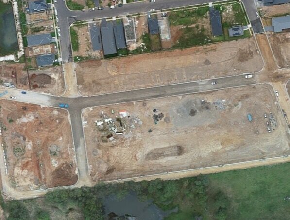
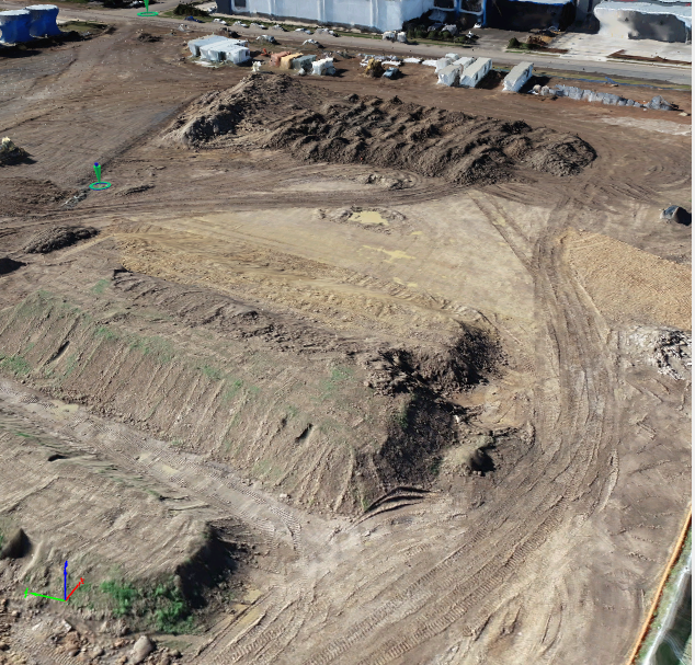
Able to provide using the latest drone technology to produce a 3D model with a high-definition aerial photography to capture the bird’s eye view and create surface for earthwork quantity for the project, capturing site progress with pictures and videos.


Get in touch.
At ATK Surveying, we offer a comprehensive range of surveying and mapping services for property consultants & developers, construction sites & infrastructure projects, architects, and specialized surveying for landfills. Our experts will help you to identify, select, implement and work out the best solution for your project.

Offices
Jamieson Pl, Glendenning NSW 2761
info@atksurveying.com
0410116575
Coffs Harbour, North Coast
info@atksurveying.com
0410116575